Delegates to the recent national launch of the Coast-R Network were invited to engage in some creative methods as part of the afternoon workshops. This blog, from workshop organisers Dr Sarah Gambell and Dr Kate Smith, shares some insights into what happened when delegates were invited to get their hands on paint, clay, glue and more.
There’s a particular energy that develops in a room full of people making things: the collective experience of a creative ‘flow state’ seems to offer a very safe and supportive way of bringing participants into a discussion together, often unlocking new insights and shared understandings. We’ve seen this work time and again in our academic research with different communities in different places, and using a range of hands-on methods from games to needlework. With the opportunity to showcase the impact of doing this kind of work at the Coast-R Network launch in November, we wanted to bring together our experiences of doing creative and participatory research with our interest in deep mapping to offer participants a workshop that gave them a chance to try out different creative methods whilst contributing to the development of Coast-R’s digital resources.
Deep mapping is one of those resources. Deep mapping is a digital methodology that creates detailed, multi-layered representations of a place or environment. Unlike conventional maps, deep maps focus on mapping intangible elements – such as cultural, historical, and embodied aspects of a location – that are typically considered “un-mappable.” These include written narratives, folklore, language, relationships, and other cultural dimensions.
This approach seeks to uncover the complex relationships between people, place, and history, offering a nuanced and holistic understanding of an environment. By integrating diverse data sources, including archival materials, personal narratives, and experiential knowledge, deep mapping serves both as an effective tool for sharing a lot of information visually with public audiences, as well as a robust method for academic research.
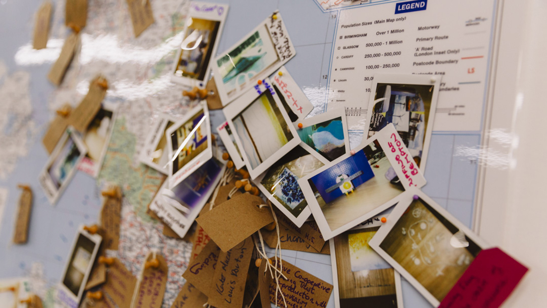
Part of our commitment to continuous evaluation is developing an understanding of where our network members are and of what matters to them about their coastal places or projects. That’s why where was a giant map and a big pile of labels and pins in the entrance foyer of the launch venue – we invited participants to pin themselves and their projects/places on the map and will digitise these as part of Coast-R’s digital engagement platform. In the afternoon workshops we wanted to go a little deeper, using the potential of deep mapping to do more than just spatially arrange information. We wanted to know what was important to people about their coastal places and projects, so set up a creative workshop with multiple opportunities to make something in response to the question ‘what’s important about your coastal place(s)?’.
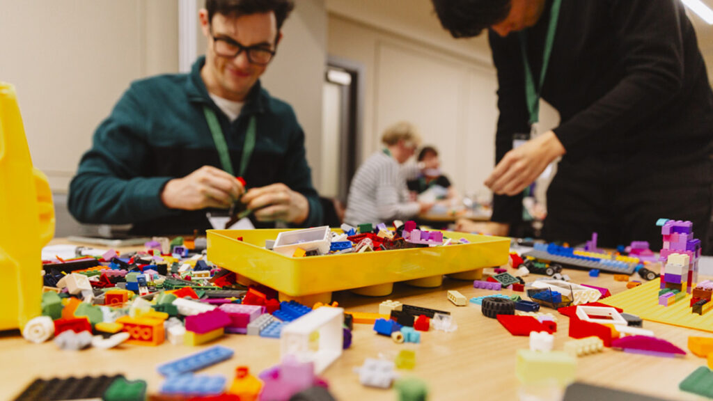
The room was set up with seven tables each inviting engagement with a different method or medium – wet-on-wet watercolour, oil pastels and crayons, 100-word story writing, airdry clay modelling, paper collage, and Lego.
A separate table with two instamatic cameras was available for participants to photograph their finished objects and add them to the giant map at the end of the session. After a short presentation, participants were invited to pick a table of their choice and just start making something – we’ve learnt from experience that just getting started with the making is the best way into this kind of work and encouraged participants not to worry about the finished product but just enjoy the process.
Around 50 people joined us altogether for the workshops, which ran twice through the afternoon: paper collage was by far the most popular of the different activities, with participants relishing the invitation to destroy some large-format pictorial books about the coast and make something personally meaningful out of them.
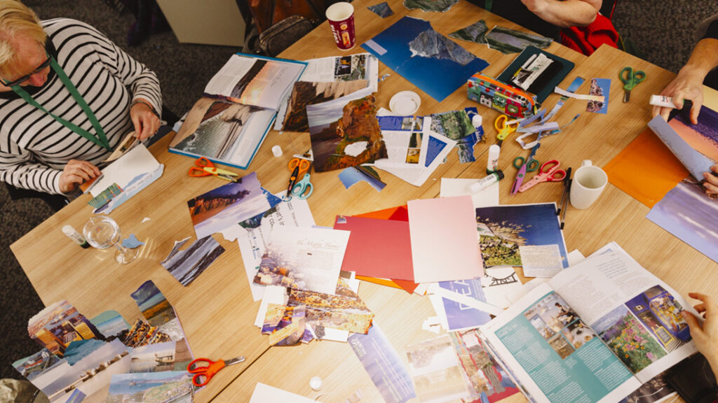
In each workshop, after an initial period of chatter as people chose the medium they wanted to work in, the room become quiet and focussed as people became absorbed in whatever they were making. With gentle encouragement from us and each other, people’s doubts about ‘not being a creative person’ seemed to fade away and experimentation with different techniques took over. When invited to tell us about what they’d made, people were generous and open in sharing their stories and experience of the process. Some had made very personal responses to very particular places, a clay natterjack toad commemorates a particular stretch of intertidal wilderness, for example, or a Lego construction represents the idea of a contemporary Ark which has the capacity to save humanity from itself, thereby safeguarding the future of coastal ecosystems.
And now we are engaged in the work of digitising the instamatic photos that people pinned to our map, recording visually what’s important about their coastal places and projects on a Deep Digital Map that will grow as the Coast-R Network grows and morphs in the next four years. If you’d like to know more about the Deep Maps that have been developed as part of Sarah’s work go here and you can see more examples of the kind of creative participatory methods Kate has used here.

